|
Leftmenu
|
Gallery 2013: January 26, Petit Jean State Park
Pass your mouse over the thumbnails to view photos and captions.
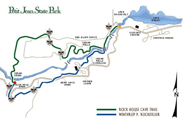 We started at the orange dot (top of map) and walked westward to the purple dot where we crossed Cedar Creek. We passed Mather Lodge, crossed roads a few times, and arrived at the red dot for lunch (Blue Hole area). We took the Rock House Cave Trail to go back. We covered 8.4 miles in 4 hours and 10 minutes (not including lunch). We started at the orange dot (top of map) and walked westward to the purple dot where we crossed Cedar Creek. We passed Mather Lodge, crossed roads a few times, and arrived at the red dot for lunch (Blue Hole area). We took the Rock House Cave Trail to go back. We covered 8.4 miles in 4 hours and 10 minutes (not including lunch). 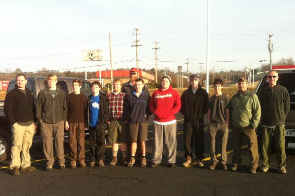 From left to right: ASM Williams, Jake, SPL Maxim, William, ASM Kreun, ASM Vickers, Gunnar, Dylan, Jonathan, Chase, SM Garrison, and ASM Van Houtte. From left to right: ASM Williams, Jake, SPL Maxim, William, ASM Kreun, ASM Vickers, Gunnar, Dylan, Jonathan, Chase, SM Garrison, and ASM Van Houtte.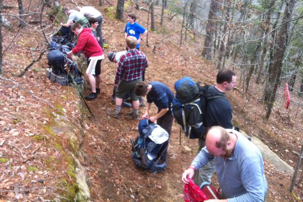 First stop after our first crossing of Cedar Creek. Even though the temperature was still in the low 30s, most of us shed a layer. First stop after our first crossing of Cedar Creek. Even though the temperature was still in the low 30s, most of us shed a layer.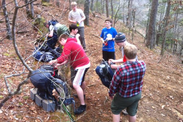 Snack break after our first crossing of Cedar Creek. Snack break after our first crossing of Cedar Creek. Snack break after our first crossing of Cedar Creek. Snack break after our first crossing of Cedar Creek.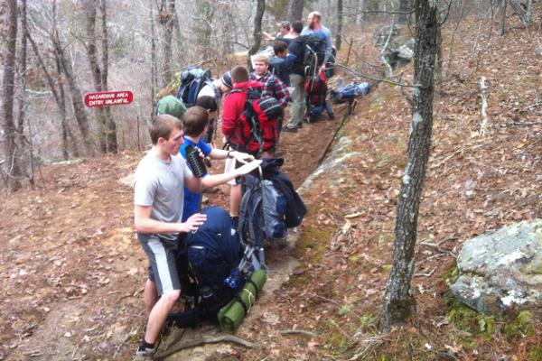 Snack break after our first crossing of Cedar Creek. Some even dared to continue in t-shirts... Snack break after our first crossing of Cedar Creek. Some even dared to continue in t-shirts...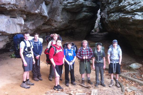 The Winthrop P. Rockfeller trail also uses some of the Bear Cave trail. Scouts in front of impressive rock formations in the Bear Cave area. The Winthrop P. Rockfeller trail also uses some of the Bear Cave trail. Scouts in front of impressive rock formations in the Bear Cave area.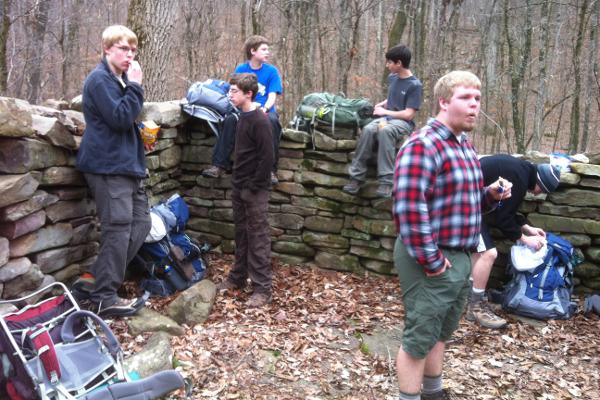 Early lunch at 11am in the Blue Hole area. We already covered 4 miles of trail. Early lunch at 11am in the Blue Hole area. We already covered 4 miles of trail.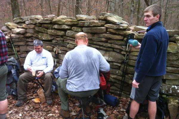 The folding chairs were quite appreciated! The folding chairs were quite appreciated!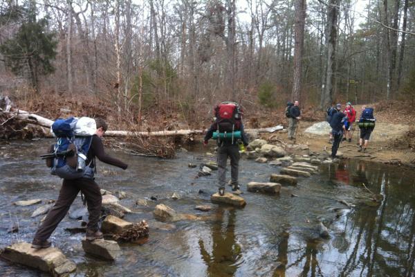 Major crossing of Cedar Creek in the western part of the park. Major crossing of Cedar Creek in the western part of the park.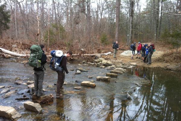 Major crossing of Cedar Creek in the western part of the park. Some stones were partly eroded, and it was sometimes tricky to put your foot down without getting wet. Major crossing of Cedar Creek in the western part of the park. Some stones were partly eroded, and it was sometimes tricky to put your foot down without getting wet.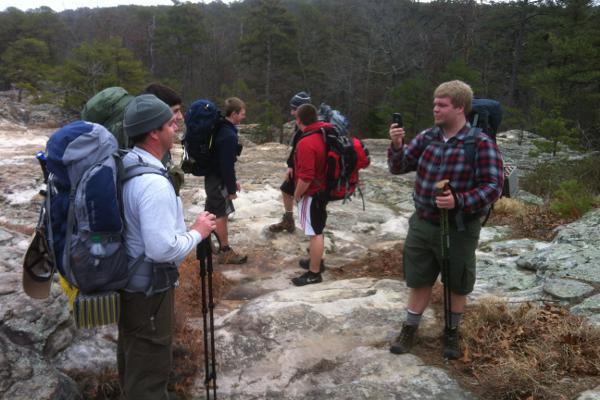 On our way back, we stopped a few minutes at Turtle Rocks (rock formation found in several parts of the park). The photographer is photographed while taking a family portrait of the Garrisons. On our way back, we stopped a few minutes at Turtle Rocks (rock formation found in several parts of the park). The photographer is photographed while taking a family portrait of the Garrisons. On our way back, we stopped a few minutes at Turtle Rocks (rock formation found in several parts of the park). Maybe 1.5 miles left... Jake, ASM Vickers, and William. On our way back, we stopped a few minutes at Turtle Rocks (rock formation found in several parts of the park). Maybe 1.5 miles left... Jake, ASM Vickers, and William.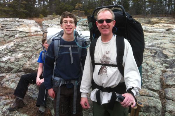 On our way back, we stopped a few minutes at Turtle Rocks (rock formation found in several parts of the park). Family portrait of the Van Houttes (and William in the background). On our way back, we stopped a few minutes at Turtle Rocks (rock formation found in several parts of the park). Family portrait of the Van Houttes (and William in the background).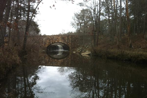 Departure and arrival point (orange dot on map). The bridge separates Lake Roosevelt located behind the bridge and the western part of Cedar Creek seen on the picture. Departure and arrival point (orange dot on map). The bridge separates Lake Roosevelt located behind the bridge and the western part of Cedar Creek seen on the picture.
|